
File:Bayarea map.svg

此SVG文件的PNG预览的大小:533 × 599像素。 其他分辨率:213 × 240像素 | 427 × 480像素 | 683 × 768像素 | 911 × 1,024像素 | 1,822 × 2,048像素 | 693 × 779像素。
原始文件 (SVG文件,尺寸为693 × 779像素,文件大小:296 KB)
摘要
| 描述 |
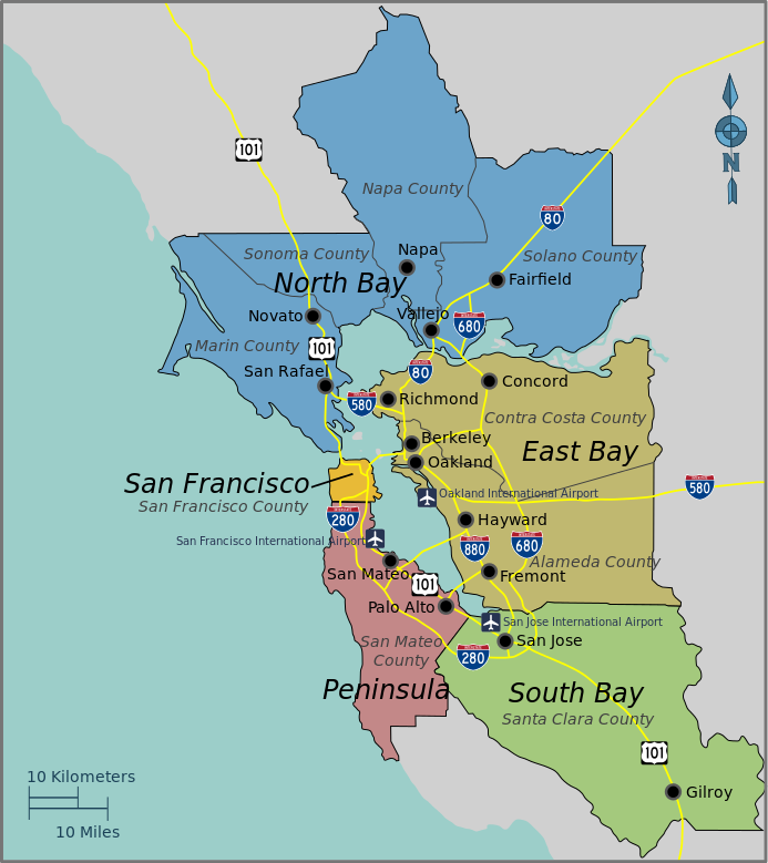
English: Bay Area Regions Map, Bay Area (California). |
| 日期 | |
| 来源 | Open Street Map and the PD Wikivoyage template |
| 作者 | PerryPlanet |
| This work contains information from OpenStreetMap, which is made available under the Open Database License (ODbL).
The ODbL does not require any particular license for maps produced from ODbL data. Prior to 1 August 2020, map tiles produced by the OpenStreetMap Foundation were licensed under the CC-BY-SA-2.0 license. Maps produced by other people may be subject to other licences. |
许可协议
| 本作品已被作者User: (WT-shared) PerryPlanet at wts 维基导游释出到公有领域。这适用于全世界。 在一些国家这可能不合法;如果是这样的话,那么: User: (WT-shared) PerryPlanet at wts 维基导游无条件地授予任何人以任何目的使用本作品的权利,除非这些条件是法律规定所必需的。
|
原始上传日志
| This file was imported from Wikivoyage WTS. |
The original description page was here. All following user names refer to wts.wikivoyage-old.
- 2010-10-17 03:38 (WT-shared) PerryPlanet[失效链接] 744×1052 (677515 bytes) {{Imagecredit|credit=PerryPlanet|captureDate=10/16/2010|location=Bay Area (California)|source=Open Street Map and the PD Wikitravel template (Import from wikitravel.org/shared)
文件历史
点击某个日期/时间查看对应时刻的文件。
| 日期/时间 | 缩略图 | 大小 | 用户 | 备注 | |
|---|---|---|---|---|---|
| 当前 | 2015年11月21日 (六) 18:06 | | 693 × 779(296 KB) | Hdamm | fixed image dimensions, clean up |
| 2012年11月18日 (日) 04:49 |  | 744 × 1,052(662 KB) | MGA73bot2 | {{BotMoveToCommons|wts.oldwikivoyage|year={{subst:CURRENTYEAR}}|month={{subst:CURRENTMONTHNAME}}|day={{subst:CURRENTDAY}}}} == {{int:filedesc}} == {{Information |description=Bay Area Regions Map. , Bay Area (California) * Map of: Bay Area (California)... |
文件用途
以下页面使用本文件:
全域文件用途
以下其他wiki使用此文件:
- de.wikivoyage.org上的用途
- en.wikivoyage.org上的用途