
File:Map of Arctic Islands.png
預覽大小:600 × 599 像素。 其他解析度:240 × 240 像素 | 481 × 480 像素 | 936 × 935 像素。
原始檔案 (936 × 935 像素,檔案大小:257 KB,MIME 類型:image/png)

|
此檔案是透過機器人腳本從wts.oldwikivoyage移動到維基共享資源的。來源中的所有資訊均已保留,但仍需要人工的審閱。部分或所有的資訊可能會出現在錯誤的區域;只有在經過審閱並修正需改正的錯誤後,此檔案的相關資訊才能視為可使用。當審閱結束後,請移除本模板,更詳細的資訊參見下方。 現在就開始檢查! |
摘要
| 描述 |
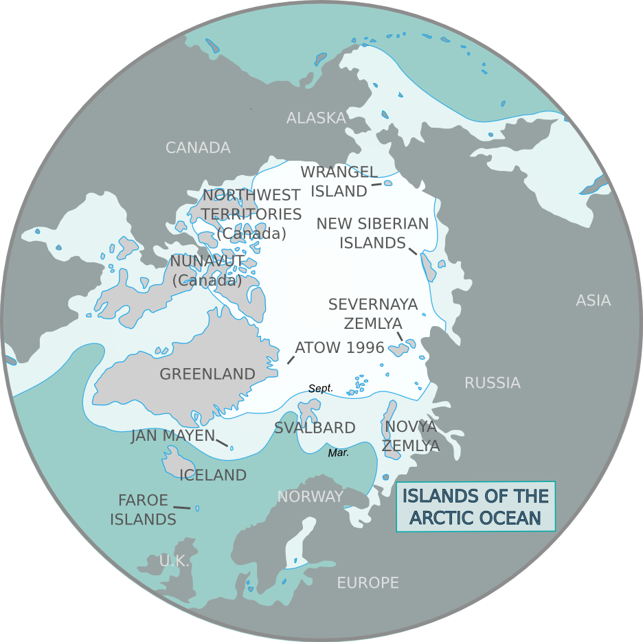
Map of Arctic Islands. Based on Sea ice.svg, Arctic Ocean
|
| 日期 | |
| 來源 | :Image:Map of Arctic Islands.svg |
| 作者 | (WT-shared) Cacahuate, (WT-shared) Mark (WT logo), historicair (svg base) |
授權條款

|
已授權您依據自由軟體基金會發行的無固定段落、封面文字和封底文字GNU自由文件授權條款1.2版或任意後續版本,對本檔進行複製、傳播和/或修改。該協議的副本列在GNU自由文件授權條款中。 |
This file is licensed under the Creative Commons Attribution-Share Alike 4.0 International, 3.0 Unported, 2.5 Generic, 2.0 Generic and 1.0 Generic license.
- 您可以自由:
- 分享 – 複製、發佈和傳播本作品
- 重新修改 – 創作演繹作品
- 惟需遵照下列條件:
- 姓名標示 – 您必須指名出正確的製作者,和提供授權條款的連結,以及表示是否有對內容上做出變更。您可以用任何合理的方式來行動,但不得以任何方式表明授權條款是對您許可或是由您所使用。
- 相同方式分享 – 如果您利用本素材進行再混合、轉換或創作,您必須基於如同原先的相同或兼容的條款,來分布您的貢獻成品。
原始上傳日誌
| This file was imported from Wikivoyage WTS. |
The original description page was here. All following user names refer to wts.wikivoyage-old.
- 2008-07-07 01:59 (WT-shared) Cacahuate[失效連結] 936×935 (250122 bytes) {{Imagecredit|credit=[[User:Cacahuate|Cacahuate]], [[User:Mark|Mark]] (WT logo), [[:commons:User:historicair|historicair]] (svg base)|captur (Import from wikitravel.org/shared)
- 2012-09-11 10:47 Pbsouthwood[失效連結] 936×935 (263378 bytes) rm logo
檔案歷史
點選日期/時間以檢視該時間的檔案版本。
| 日期/時間 | 縮圖 | 尺寸 | 用戶 | 備註 | |
|---|---|---|---|---|---|
| 目前 | 2012年12月16日 (日) 02:00 | | 936 × 935(257 KB) | OgreBot | (BOT): Reverting to most recent version before archival |
| 2012年12月16日 (日) 02:00 |  | 936 × 935(244 KB) | OgreBot | (BOT): Uploading old version of file from wts.wikivoyage; originally uploaded on 2008-07-07 01:59:25 by (WT-shared) Cacahuate | |
| 2012年11月18日 (日) 08:54 |  | 936 × 935(257 KB) | MGA73bot2 | {{BotMoveToCommons|wts.oldwikivoyage|year={{subst:CURRENTYEAR}}|month={{subst:CURRENTMONTHNAME}}|day={{subst:CURRENTDAY}}}} == {{int:filedesc}} == {{Information |description=Map of Arctic Islands. Based on [[:wts::commons:Image:Sea_ice.svg|Sea ice.svg]... |
檔案用途
下列頁面有用到此檔案:
全域檔案使用狀況
以下其他 wiki 使用了這個檔案:
- bn.wikivoyage.org 的使用狀況
- en.wikivoyage.org 的使用狀況
- fi.wikivoyage.org 的使用狀況
- incubator.wikimedia.org 的使用狀況
- it.wikivoyage.org 的使用狀況
- vi.wikivoyage.org 的使用狀況