
File:Singapore location map (main island).svg

此 SVG 檔案的 PNG 預覽的大小:800 × 508 像素。 其他解析度:320 × 203 像素 | 640 × 406 像素 | 1,024 × 650 像素 | 1,280 × 812 像素 | 2,560 × 1,625 像素 | 3,247 × 2,061 像素。
原始檔案 (SVG 檔案,表面大小:3,247 × 2,061 像素,檔案大小:309 KB)
.svg)
摘要
| 描述 |
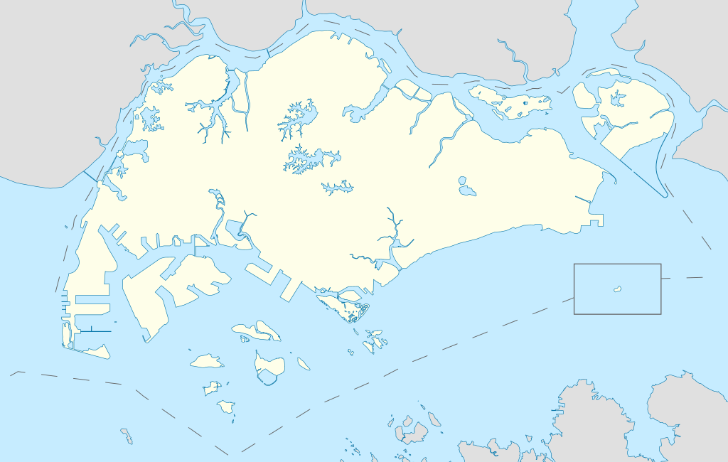
English: Locator Map for Singapore's main island, with Pedra Branca as an insert |
| 日期 | |
| 來源 | 自己的作品 |
| 作者 | Seloloving |
授權條款
我,本作品的著作權持有者,決定用以下授權條款發佈本作品:
此檔案採用共享創意 姓名標示-相同方式分享 4.0 國際授權條款。
- 您可以自由:
- 分享 – 複製、發佈和傳播本作品
- 重新修改 – 創作演繹作品
- 惟需遵照下列條件:
- 姓名標示 – 您必須指名出正確的製作者,和提供授權條款的連結,以及表示是否有對內容上做出變更。您可以用任何合理的方式來行動,但不得以任何方式表明授權條款是對您許可或是由您所使用。
- 相同方式分享 – 如果您利用本素材進行再混合、轉換或創作,您必須基於如同原先的相同或兼容的條款,來分布您的貢獻成品。
檔案歷史
點選日期/時間以檢視該時間的檔案版本。
| 日期/時間 | 縮圖 | 尺寸 | 用戶 | 備註 | |
|---|---|---|---|---|---|
| 目前 | 2020年6月14日 (日) 19:16 | | 3,247 × 2,061(309 KB) | Seloloving | added maritime borders |
| 2020年6月13日 (六) 17:36 |  | 3,247 × 2,061(310 KB) | Seloloving | full extent of singapore and claimed waters | |
| 2020年6月11日 (四) 02:36 |  | 2,959 × 1,949(224 KB) | Seloloving | Uploaded own work with UploadWizard |
檔案用途
沒有使用此檔案的頁面。
全域檔案使用狀況
以下其他 wiki 使用了這個檔案:
- bcl.wikipedia.org 的使用狀況
- en.wikipedia.org 的使用狀況
- Jurong
- Jurong Island
- Pulau Tekong
- Changi
- Changi Naval Base
- Ang Mo Kio
- Changi Prison
- Sembawang
- Pulau Ubin
- Paya Lebar Air Base
- Geylang
- Sakya Muni Buddha Gaya Temple
- Punggol
- Woodlands, Singapore
- Marine Parade
- Clementi, Singapore
- Pasir Ris
- Orchard Road
- Kallang
- Choa Chu Kang
- Paya Lebar
- Republic of Singapore Navy
- Singapore Army
- Tampines
- Bukit Timah
- Yishun
- Marsiling
- Serangoon
- Bishan, Singapore
- Lim Chu Kang
- Bukit Batok
- Bukit Panjang
- Hougang
- Queenstown, Singapore
- Toa Payoh
- Tuas
- Former National Stadium, Singapore
- 1984 AFC Asian Cup
- Bedok
- Kong Meng San Phor Kark See Monastery
- Seletar
- Pulau Brani
- Kusu Island
- Sisters' Islands
- Pulau Hantu
檢視此檔案的更多全域使用狀況。
.svg)
.svg)