
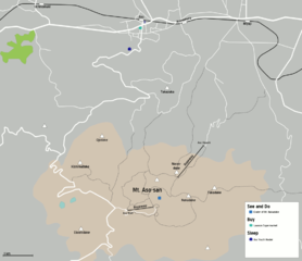
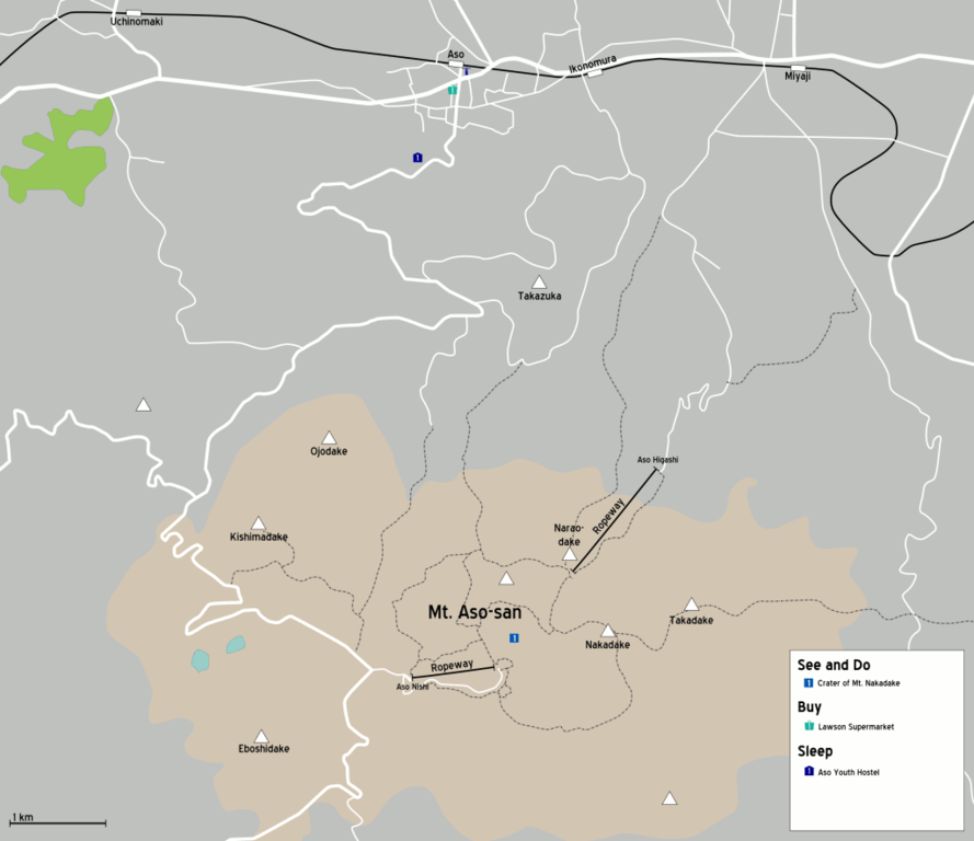
File:Aso map.png

本预览的尺寸:694 × 600像素。 其他分辨率:278 × 240像素 | 555 × 480像素 | 889 × 768像素 | 1,024 × 885像素。
原始文件 (1,024 × 885像素,文件大小:55 KB,MIME类型:image/png)
摘要
| 描述 |
Map of Mt. Aso surroundings. Created by Olli Salonen (User:(WT-shared) Trsqr) on Oct 21, 2006. 地图: Kumamoto (prefecture)
|
| 日期 | 2006年10月21日 (原始上传日期) |
| 来源 | OSM |
| 作者 | User: (WT-shared) Trsqr at wts 维基导游 |
| 图中地点 | 阿苏山 |
许可协议
本文件采用知识共享署名-相同方式共享 1.0 通用许可协议授权。
- 您可以自由地:
- 共享 – 复制、发行并传播本作品
- 修改 – 改编作品
- 惟须遵守下列条件:
- 署名 – 您必须对作品进行署名,提供授权条款的链接,并说明是否对原始内容进行了更改。您可以用任何合理的方式来署名,但不得以任何方式表明许可人认可您或您的使用。
- 相同方式共享 – If you alter, transform, or build upon this work, you must distribute the resulting work under the same license as the original.
原始上传日志
| This file was imported from Wikivoyage WTS. |
The original description page was here. All following user names refer to wts.wikivoyage-old.
- 2006-10-21 11:52 (WT-shared) Trsqr archive copy at the Wayback Machine 1024×885 (56804 bytes) Map of Mt. Aso surroundings. Created by Olli Salonen ([[Trsqr]]) on Oct 21, 2006. (Import from wikitravel.org/shared)
文件历史
点击某个日期/时间查看对应时刻的文件。
| 日期/时间 | 缩略图 | 大小 | 用户 | 备注 | |
|---|---|---|---|---|---|
| 当前 | 2012年11月18日 (日) 05:55 | | 1,024 × 885(55 KB) | MGA73bot2 | {{BotMoveToCommons|wts.oldwikivoyage|year={{subst:CURRENTYEAR}}|month={{subst:CURRENTMONTHNAME}}|day={{subst:CURRENTDAY}}}} == {{int:filedesc}} == {{Information |description=Map of Mt. Aso surroundings. Created by Olli Salonen ([[:wts:User:(WT-shared)... |
文件用途
没有页面使用本文件。
全域文件用途
以下其他wiki使用此文件: