
File:Inner-Perth-map.png
本预览的尺寸:693 × 599像素。 其他分辨率:278 × 240像素 | 555 × 480像素 | 888 × 768像素 | 1,171 × 1,013像素。
原始文件 (1,171 × 1,013像素,文件大小:337 KB,MIME类型:image/png)
摘要
| 描述 |
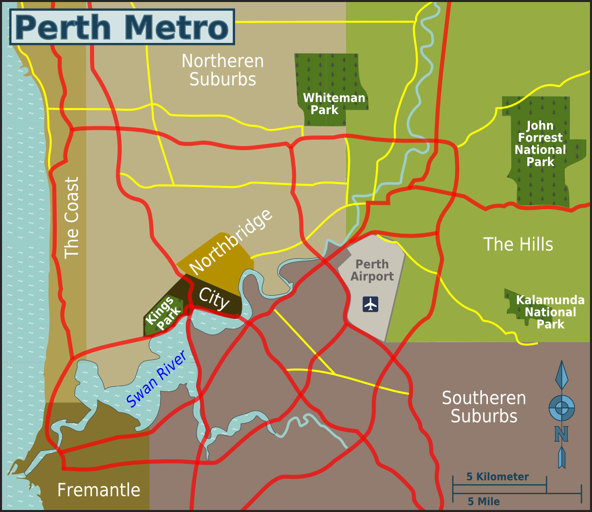
English: Map of Perth districts. |
| 日期 | |
| 来源 | image:Inner-Perth-map.svg |
| 作者 | user:cardboardbird, OpenStreetMap [1] |
许可协议
This file is licensed under the Creative Commons Attribution-Share Alike 4.0 International, 3.0 Unported, 2.5 Generic, 2.0 Generic and 1.0 Generic license.
- 您可以自由地:
- 共享 – 复制、发行并传播本作品
- 修改 – 改编作品
- 惟须遵守下列条件:
- 署名 – 您必须对作品进行署名,提供授权条款的链接,并说明是否对原始内容进行了更改。您可以用任何合理的方式来署名,但不得以任何方式表明许可人认可您或您的使用。
- 相同方式共享 – 如果您再混合、转换或者基于本作品进行创作,您必须以与原先许可协议相同或相兼容的许可协议分发您贡献的作品。
原始上传日志
| This file was imported from Wikivoyage WTS. |
原始描述頁面位於這裡。下列使用者名稱均來自wts.wikivoyage-old。
- 2010-06-17 15:41 (WT-shared) Cardboardbird[失效链接] 1171×1013 (343580 bytes) {{Imagecredit|credit=user:cardboardbird, OpenStreetMap [http://openstreetmap.org] |captureDate=17 June 2010|location=Perth|source=image:Inne (Import from wikitravel.org/shared)
- 2010-06-18 07:39 (WT-shared) Cardboardbird[失效链接] 1171×1013 (345432 bytes) A couple small changes to names (Import from wikitravel.org/shared)
文件历史
点击某个日期/时间查看对应时刻的文件。
| 日期/时间 | 缩略图 | 大小 | 用户 | 备注 | |
|---|---|---|---|---|---|
| 当前 | 2012年12月14日 (五) 12:00 | | 1,171 × 1,013(337 KB) | OgreBot | (BOT): Reverting to most recent version before archival |
| 2012年12月14日 (五) 12:00 |  | 1,171 × 1,013(336 KB) | OgreBot | (BOT): Uploading old version of file from wts.wikivoyage; originally uploaded on 2010-06-17 15:41:24 by (WT-shared) Cardboardbird | |
| 2012年11月18日 (日) 08:11 |  | 1,171 × 1,013(337 KB) | MGA73bot2 | {{BotMoveToCommons|wts.oldwikivoyage|year={{subst:CURRENTYEAR}}|month={{subst:CURRENTMONTHNAME}}|day={{subst:CURRENTDAY}}}} == {{int:filedesc}} == {{Information |description=Map of Inner-Perth. Map of Perth districts, Perth * Map of: Perth¤ |date=17 J... |
文件用途
没有页面使用本文件。
全域文件用途
以下其他wiki使用此文件:
- en.wikivoyage.org上的用途
- nl.wikipedia.org上的用途