
File:Whole world - land and oceans 12000.jpg

本预览的尺寸:800 × 400像素。 其他分辨率:320 × 160像素 | 640 × 320像素 | 1,024 × 512像素 | 1,280 × 640像素 | 2,560 × 1,280像素 | 24,000 × 12,000像素。
原始文件 (24,000 × 12,000像素,文件大小:19.11 MB,MIME类型:image/jpeg)
摘要
| 警告 | 部分浏览器在浏览此图片的完整大小时可能会遇到困难:该图片中有数量巨大的像素点,可能无法完全载入或者导致您的浏览器停止响应。 |
|---|
| 描述 |
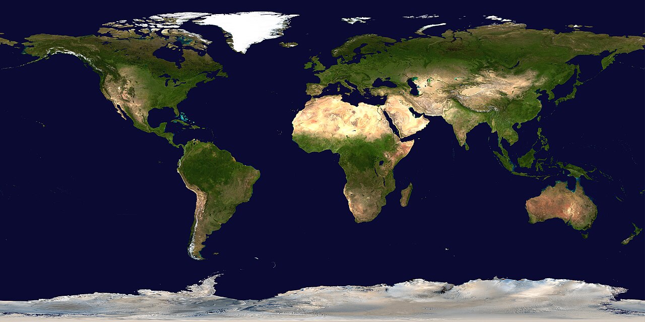
Deutsch: Satellitenbild der Erdoberoberfläche.
English: Satellite composition of the whole Earth's surface.
العربية: صور ساتليَّة مُجمَّعة لتُظهر سطح الأرض كاملًا. |
| 日期 | image released 11. Feb. 2002 |
| 来源 |
NASA - Visible Earth, images combined and scaled down by HighInBC (20 megabyte upload limit) |
| 作者 | NASA/Goddard Space Flight Center |
| 授权 (二次使用本文件) |
Copyright information from http://visibleearth.nasa.gov/useterms.php - With the exception of images produced by the SeaWiFS, QuickBird, and IKONOS instruments all images on the Visible Earth are governed by NASA's Terms of Use below. [...] For all non-private uses, NASA's Terms Of Use are as follows: 1. The imagery is free of licensing fees 2. NASA requires that they be provided a credit as the owners of the imagery [...] |
| 其他版本 |
|


|

许可协议
| 本文件完全由NASA创作,在美国属于公有领域。根据NASA的版权方针,NASA的材料除非另有声明否则不受版权保护。(参见Template:PD-USGov/zh、NASA版权方针页面或JPL图片使用方针。) | ||
 |
警告:
|
文件历史
点击某个日期/时间查看对应时刻的文件。
| 日期/时间 | 缩略图 | 大小 | 用户 | 备注 | |
|---|---|---|---|---|---|
| 当前 | 2006年8月15日 (二) 03:58 | | 24,000 × 12,000(19.11 MB) | HInBC | {{Information| |Description = Satellite composition of the whole Earth's surface. |Source = NASA - Visible Earth, images combined and scaled down by HighInBC (20 megabyte upload limit) * [http://visibleearth.nasa.gov/view_rec.php?vev1id= |
文件用途
没有页面使用本文件。
全域文件用途
以下其他wiki使用此文件:
- als.wikipedia.org上的用途
- arc.wikipedia.org上的用途
- ar.wikipedia.org上的用途
- مستخدم:ديفيد/صور ساهمت في جعلها مختارة
- ويكيبيديا:ترشيحات الصور المختارة/صورة لقارات العالم بالقمر الصناعي
- ويكيبيديا:صورة اليوم المختارة/يوليو 2015
- قالب:صورة اليوم المختارة/2015-07-26
- ويكيبيديا:صورة اليوم المختارة/أكتوبر 2016
- قالب:صورة اليوم المختارة/2016-10-03
- ويكيبيديا:صورة اليوم المختارة/يوليو 2018
- قالب:صورة اليوم المختارة/2018-07-22
- ويكيبيديا:صورة اليوم المختارة/سبتمبر 2022
- قالب:صورة اليوم المختارة/2022-09-10
- ويكيبيديا:ترشيحات الصور المختارة/سحب/الرخام الأزرق
- arz.wikipedia.org上的用途
- ast.wikipedia.org上的用途
- bg.wikipedia.org上的用途
- bi.wikipedia.org上的用途
- bpy.wikipedia.org上的用途
- br.wikipedia.org上的用途
- ca.wikipedia.org上的用途
- ca.wikibooks.org上的用途
- ceb.wikipedia.org上的用途
- co.wikipedia.org上的用途
- cs.wikipedia.org上的用途
- de.wikipedia.org上的用途
- de.wikinews.org上的用途
- de.wiktionary.org上的用途
查看本文件的更多全域用途。