
File:Maryland regions map.png

本预览的尺寸:800 × 460像素。 其他分辨率:320 × 184像素 | 640 × 368像素 | 1,024 × 588像素 | 1,280 × 735像素 | 3,008 × 1,728像素。
原始文件 (3,008 × 1,728像素,文件大小:1.42 MB,MIME类型:image/png)
摘要
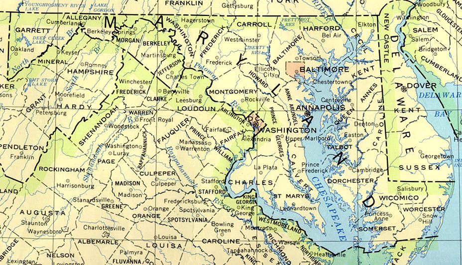
| 描述 | Maryland regions map for use on Wikivoyage, English version |
| 日期 | |
| 来源 | 自己的作品 based on the US Geo survey map, map of Maryland, and map of Virginia |
| 作者 | Peter Fitzgerald |
| 其他版本 | SVG base file |
许可协议
| 本作品已被作者User: (WT-shared) Peterfitzgerald at wts 维基导游释出到公有领域。这适用于全世界。 在一些国家这可能不合法;如果是这样的话,那么: User: (WT-shared) Peterfitzgerald at wts 维基导游无条件地授予任何人以任何目的使用本作品的权利,除非这些条件是法律规定所必需的。
|
原始上传日志
| This file was imported from Wikivoyage WTS. |
原始描述頁面位於這裡。下列使用者名稱均來自wts.wikivoyage-old。
- 2008-03-06 04:13 (WT-shared) Peterfitzgerald archive copy at the Wayback Machine 2473×1350 (246225 bytes) {{Imagecredit|credit=Peter Fitzgerald|captureDate=5 March 2008|location=Maryland|source=[[:Image:Maryland regions map.svg]]|caption=Maryland (Import from wikitravel.org/shared)
- 2008-03-07 00:41 (WT-shared) Peterfitzgerald archive copy at the Wayback Machine 2473×1350 (247316 bytes) move Cecil Co. to Eastern Shore (Import from wikitravel.org/shared)
- 2008-03-14 17:15 (WT-shared) Peterfitzgerald archive copy at the Wayback Machine 2472×1349 (305983 bytes) make DC more distinct color, add cities markers for the 9 (Import from wikitravel.org/shared)
- 2008-09-10 15:43 (WT-shared) Peterfitzgerald archive copy at the Wayback Machine 3008×1731 (1335367 bytes) overhaul, mos (Import from wikitravel.org/shared)
- 2009-03-29 07:36 (WT-shared) Peterfitzgerald archive copy at the Wayback Machine 3008×1728 (1491581 bytes) improved (hopefully) aesthetics (Import from wikitravel.org/shared)
文件历史
点击某个日期/时间查看对应时刻的文件。
| 日期/时间 | 缩略图 | 大小 | 用户 | 备注 | |
|---|---|---|---|---|---|
| 当前 | 2012年11月29日 (四) 22:01 | | 3,008 × 1,728(1.42 MB) | OgreBot | (BOT): Reverting to most recent version before archival |
| 2012年11月29日 (四) 22:01 |  | 3,008 × 1,731(1.27 MB) | OgreBot | (BOT): Uploading old version of file from wts.wikivoyage; originally uploaded on 2008-09-10 15:43:31 by (WT-shared) Peterfitzgerald | |
| 2012年11月29日 (四) 22:01 |  | 2,472 × 1,349(299 KB) | OgreBot | (BOT): Uploading old version of file from wts.wikivoyage; originally uploaded on 2008-03-14 17:15:16 by (WT-shared) Peterfitzgerald | |
| 2012年11月29日 (四) 22:01 |  | 2,473 × 1,350(242 KB) | OgreBot | (BOT): Uploading old version of file from wts.wikivoyage; originally uploaded on 2008-03-07 00:41:01 by (WT-shared) Peterfitzgerald | |
| 2012年11月29日 (四) 22:01 |  | 2,473 × 1,350(240 KB) | OgreBot | (BOT): Uploading old version of file from wts.wikivoyage; originally uploaded on 2008-03-06 04:13:29 by (WT-shared) Peterfitzgerald | |
| 2012年11月18日 (日) 05:23 |  | 3,008 × 1,728(1.42 MB) | MGA73bot2 | {{BotMoveToCommons|wts.oldwikivoyage|year={{subst:CURRENTYEAR}}|month={{subst:CURRENTMONTHNAME}}|day={{subst:CURRENTDAY}}}} == {{int:filedesc}} == {{Information |description=Maryland regions map. Regions by color grouping, with county borders visible, ... |
文件用途
以下页面使用本文件:
全域文件用途
以下其他wiki使用此文件:
- en.wikipedia.org上的用途
- en.wikivoyage.org上的用途
- fr.wikivoyage.org上的用途
- he.wikivoyage.org上的用途
- incubator.wikimedia.org上的用途
- it.wikivoyage.org上的用途
- nl.wikivoyage.org上的用途